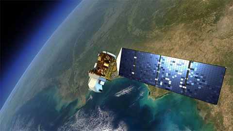
Landsat 8
Launched on February 11, 2013, Landsat 8 (formerly the Landsat Data Continuity Mission, LDCM) is collecting valuable data and imagery used in agriculture, education, business, science, and government.
The Landsat Program provides repetitive acquisition of high resolution multispectral data of the Earth’s surface on a global basis. The data from Landsat spacecraft constitute the longest record of the Earth’s continental surfaces as seen from space. It is a record unmatched in quality, detail, coverage, and value.
Key Staff
- Project Scientist: Christopher Neigh
- Deputy Project Scientist: Bruce Cook
- Instrument Scientist: Philip Dabney

